Shortcodes
The Waymark Shortcode allows you to embed Maps in your content.
Once created, Maps and Collections can be embedded within your content by simply adding the Shortcode.
Using the Shortcode
The Shortcode is simply a text placeholder that tells Waymark what to display.
It can be added to any content in WordPress that supports shortcodes.
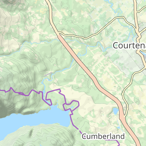
For example, this Shortcode will display the Map with an ID of 1649:
Waymark map_id="1649"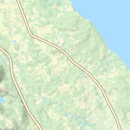


This Shortcode will display the same Map, but with a different Basemap and zoom level:
Waymark map_id="1649" basemap="Satellite" map_zoom="11" This Shortcode will display all Maps in the Collection with an ID of 27:
Waymark collection_id="27"


To display a Basemap without any data, simply provide centre coordinates and zoom level, like this:
Waymark map_centre="54.526814,-3.017289" map_zoom="16" basemap="Satellite"Shortcode Parameters
The Shortcode can be passed the following parameters.
| Parameter | Value | Description |
map_id |
Map ID | Display a single Map. You can create Maps (and obtain Map IDs) in WP Admin > Waymark > Maps. |
collection_id |
Collection ID | Display all Maps in a Collection. You can create Collections (and obtain Collection IDs) in WP Admin > Waymark > Collections. |
map_centre |
Latitude,Longitude | The initial centre coordinates of the Map. By default Waymark centres the Map so all Data is visible. |
map_zoom |
0-18 | The initial zoom of the Map. By default Waymark zooms the Map so all Data is visible. |
basemap |
Basemap Name | Which Basemap to display when the Map first loads (instead of the default). The value must match a Basemap Name listed in Waymark Settings > Maps > Basemaps. |
map_height |
Number of pixels | Specify the desired height of the Map. The default can be changed in Waymark Settings > Maps > Misc. |
map_width |
Number of pixels | Specify the desired width of the Map. |
shortcode_header |
0 or 1 | Whether to display the Shortcode Header (if Meta exists for the Map). The default can be changed in Waymark Settings > Maps > Shortcodes |
show_gallery |
0 or 1 | Whether to display an image gallery for Markers that have images associated with them. The default can be changed in Waymark Settings > Maps > Misc. |
show_filter |
0 or 1 | Whether to display the Overlay Filter. This enables visitors to filter for which Markers, Lines and Shapes are currently visible on the Map. The default can be changed in Waymark Settings > Maps > Misc. |
show_cluster |
0 or 1 | Whether to cluster (stack) Markers that are close together. The default can be changed in Waymark Settings > Maps > Clustering |
show_elevation |
0 or 1 | Display an interactive elevation profile graph below the Map for Lines that have elevation data. The default can be changed in Waymark Settings > Elevation |
map_hash |
Alpha-numeric text |
By default, Waymark adds a unique ID to the Shortcode HTML container
like this: waymark-shortcode-23a60b. When you provide a
Map Hash the ID will become: waymark-shortcode-maphash.
This can be useful if you are adding multiple occurrences of the same
Waymark Shortcode on a single page which will cause a “Map container
is already initialized.” error.
|
max_zoom |
1-18 | Providing a maximum zoom level will prevent the Map from being zoomed in further than this. |
elevation_units |
metric or imperial | This will override the Waymark > Elevation > Elevation Units option. |
Show/Hide Types Initially
Individual Overlay Types can now be Shown/Hidden initially using the Shortcode, overriding the “Show Initially” Setting for each. Use the hide_marker, show_marker, hide_line, show_line, hide_shape, show_shape Shortcode parameters, providing one or multiple (comma separated) Type Keys. For example:
Waymark map_id="1234" hide_marker="photo,alert" hide_line="green"

Show / Hide All Types
You can show/hide all Types by using a star (*) in-place of a Type Key. This allows you to selectively show certain Types while hiding everything else. For example:
Waymark map_id="1234" hide_marker="*" show_marker="alert"

Shortcode Markers
Markers can be displayed using the Shortcode, without the need for a Map to be created.
To display a Marker, pass your preferences to the Shortcode like this:
Waymark marker_centre="54.526814,-3.017289" marker_type="shelter" marker_title="Emergency Shelter" marker_description="Built in 1590 as a shelter for shepherds and their trusty dogs." marker_image="https://www.waymark.dev/wp-content/uploads/2019/11/UNADJUSTEDNONRAW_thumb_6458-1024x768.jpg"


| Parameter | Value | Description |
marker_centre | Latitude,Longitude | The centre coordinates of the Marker to be displayed. |
marker_type | Type Name | The type of Marker to display, must match a valid Type Key (e.g. “photo”) |
marker_title | Text | The Title to display when the Marker is clicked. |
marker_description | Text | The Description to display when the Marker is clicked. |
marker_image | Image URL | An Image URL to display when the Marker is clicked. |

